Resources
Categories
Languages
 Visit Website
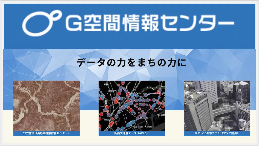
G Spatial Information Center
G空間情報センター
The G Spatial Information Center, managed by Japan's Geospatial Information Authority (GSI), serves as a hub for accessing and sharing geospatial data from various public and private sources. It provides datasets such as satellite imagery, topographic maps, and 3D city models, supporting applications in urban planning, disaster management, and research. The platform promotes open data use and collaboration in the geospatial field.
dataportalgovernment 🇺🇸 EN🇯🇵 JP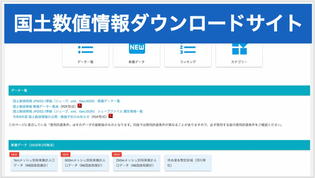 Visit Website
National Land Numerical Information Download Service
国土数値情報ダウンロードサイト
The National Land Numerical Information Download Service, operated by Japan's Ministry of Land, Infrastructure, Transport and Tourism (MLIT), provides access to a wide range of geospatial datasets. These datasets include administrative boundaries, land use, transportation networks, and disaster-related information, available in formats such as Shapefile and GML for GIS applications. The service aims to support research, urban planning, and disaster prevention efforts.
dataportalgovernment 🇯🇵 JP only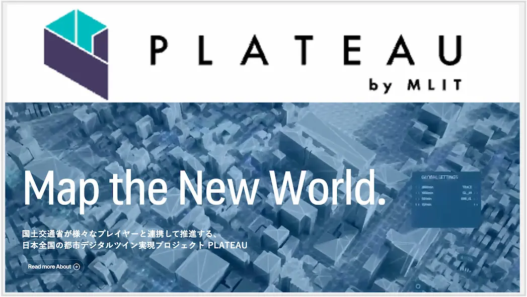 Visit Website
Project PLATEAU Official Website
PLATEAU
Project PLATEAU, led by Japan's Ministry of Land, Infrastructure, Transport and Tourism (MLIT), is a national initiative to develop and provide open 3D urban models of cities across Japan. The project promotes the use of 3D geospatial data in urban planning, disaster prevention, and smart city development. The datasets are available in CityGML format and can be visualized using platforms like Cesium and Unity, enabling diverse applications in research and industry.
opendatagovernment 🇯🇵 JP only Visit Website
QZSS Michibiki Official Website
準天頂衛星みちびき
The Quasi-Zenith Satellite System (QZSS), known as 'Michibiki' in Japanese, is Japan's regional satellite navigation system that enhances GPS signals in the Asia-Oceania region. Developed by the Japanese government, it provides highly precise positioning information with centimeter-level accuracy, supporting applications in autonomous vehicles, precision agriculture, and disaster management. The system consists of multiple satellites in quasi-zenith orbits, ensuring stable coverage even in urban canyons and mountainous areas where GPS signals may be obstructed.
infrastructuregovernment 🇯🇵 JP🇺🇸 EN Visit Website
Geospatial Information Authority of Japan
国土地理院
organizationgovernment 🇯🇵 JP🇺🇸 EN Visit Website
OSGeo Japan
OSGeo日本支部
OSGeo Japan is the official Japanese chapter of the Open Source Geospatial Foundation (OSGeo), which was established to support and build high-quality open source geospatial software. The foundation aims to promote community-driven use and development of open source projects. OSGeo Japan organizes conferences, workshops, and educational activities to advance FOSS4G (Free and Open Source Software for Geospatial) technologies in Japan.
organizationopensource 🇯🇵 JP only Visit Website
Code for Japan
Code for Japan
Code for Japan is a non-profit organization that leverages technology to solve local issues. Inspired by the activities of the U.S. non-profit organization Code for America, it was launched around 2013 as a Japanese counterpart. It supports and operates projects that involve collaboration among government, businesses, and citizens, focusing on open data and civic participation.
organizationopensource 🇯🇵 JP🇺🇸 EN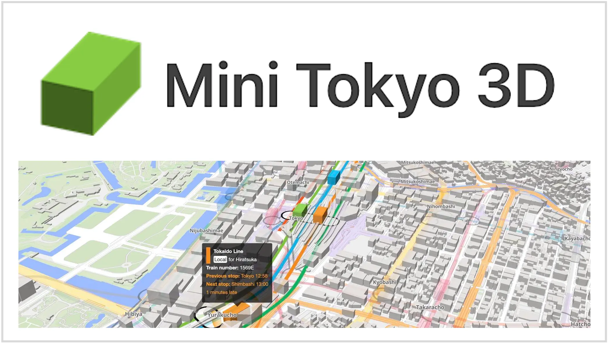 Visit Website
Mini Tokyo 3D
Mini Tokyo 3D
Mini Tokyo 3D is a real-time 3D digital twin application that visualizes Tokyo's public transportation system. Developed by Akihiko Kusanagi, it displays the movements of trains, buses, and aircraft in Tokyo and surrounding areas with stunning 3D graphics. The application won the grand prize in the Tokyo Public Transportation Open Data Competition and supports multiple languages, making it accessible to international users.
applicationdigitaltwinopensource 🇯🇵 JP🇺🇸 EN Visit Website
Public Transportation Open Data Center
公共交通オープンデータセンター
The Public Transportation Open Data Center provides one-stop access to transportation data from operators participating in the Public Transportation Open Data Council. It supports comprehensive data from railway, bus, aviation, and passenger ship operators, including real-time information. The center delivers pre-processed data through REST APIs in standardized JSON format, with GTFS format also available for bus and passenger ship data.
organizationopendata 🇯🇵 JP🇺🇸 EN Visit Website
GTFS Japan
GTFS-JP
GTFS-JP is the Japanese implementation of the General Transit Feed Specification (GTFS), a standard format for public transportation schedules and geographic information. It enables developers to create applications using standardized public transportation data, supporting route planning, real-time updates, and transportation analysis across Japan.
standardopendata 🇯🇵 JP only Visit Website
Zenrin
ゼンリン
Zenrin is Japan's leading map provider company, known for its highly detailed and accurate mapping data. The company provides comprehensive geospatial information including road networks, building footprints, and address data that powers many navigation systems and location-based services in Japan.
companymapprovider 🇺🇸 EN🇯🇵 JP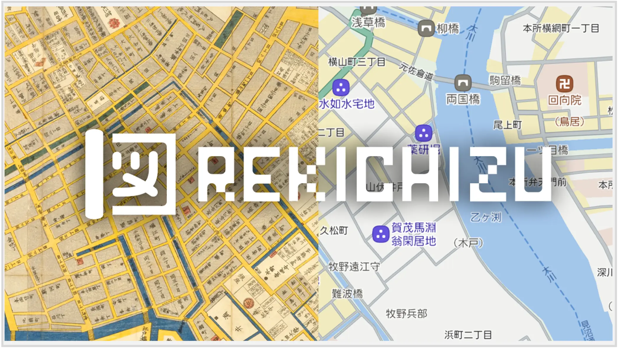 Visit Website
Rekichizu
れきちず
Rekichizu is a website where you can view historical maps with modern map design. Currently featuring maps from the late Edo period (around 1800-1840), the project provides interactive historical mapping with multilingual support and open data availability under CC BY-NC-ND 4.0 license.
applicationopensource 🇯🇵 JP🇺🇸 EN Visit Website
MIERUNE
MIERUNE
MIERUNE is a GIS service company established through Japan's FOSS4G events, specializing in location-based system development and consulting. The company is also recognized as an official supporter of QGIS, contributing to the open source GIS ecosystem in Japan.
companyopensource 🇯🇵 JP only Visit Website
open-hinata3
open-hinata3(ひなたGIS)
open-hinata3 (OH3) is an ultra-general-purpose open-source web GIS developed by a solo developer in Japan. It features over 625 types of data layers covering diverse open data and statistics and AI agent functionality for interactive geographic analysis. Originally adopted by Miyazaki Prefecture as an official web service, OH3 continues to evolve with innovative features that make data familiar to everyone.
applicationopensource 🇯🇵 JP only Visit Website
Virtual Shizuoka
Virtual Shizuoka
Virtual Shizuoka is a pioneering point cloud data initiative by Shizuoka Prefecture's Construction Policy Division. Since 2019, the prefecture has developed high-density point cloud data covering the entire 7,777 km² area with over 500 billion data points, published under CC-BY 4.0 license on G-Spatial Information Center.
opendatagovernmentdigitaltwin 🇯🇵 JP only Visit Website
Tokyo Digital Twin Project
東京都デジタルツイン実現プロジェクト
Tokyo Digital Twin Project, launched in 2020 by Tokyo Metropolitan Government, aims to create a comprehensive digital twin of Japan's capital. The project includes point cloud data development with equipment lending programs, data acquisition support, and web-based viewer collaboration.
opendatagovernmentdigitaltwin 🇺🇸 EN🇯🇵 JP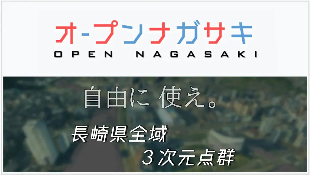 Visit Website
Open Nagasaki
オープンナガサキ
Open Nagasaki is a point cloud open data initiative by Nagasaki Prefecture, known for its unique catchphrase 'Use it freely' in an imperative tone. Launched around 2023, the project distributes point cloud data in LAS format and emphasizes collaboration with regional researchers and communities.
opendatagovernment 🇯🇵 JP only